
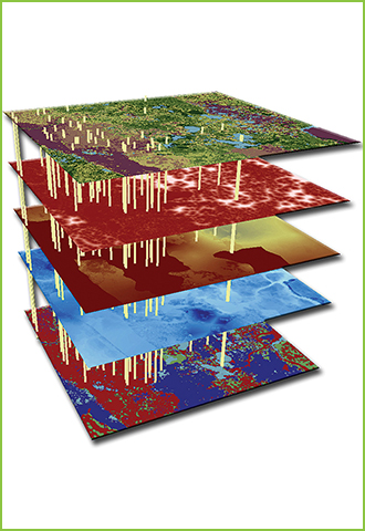
We thrive on automating complex operations and streamlining datasets using various technologies and know-hows including Geographic Information Systems (GIS) technology which serves as a broad range of interests including consulting in customized development and integration services for both GIS and IT.
Our clientele includes government bodies, utilities and transportation authorities, universities and private sector companies with a wide range of services including on-field surveys, desk based GIS and IT consulting, mobile applications and support services. From strategic planning to application integration and its analysis, we at Bore Charger aim at empowering your operations with the clarity, accuracy and productivity you need to strategize and succeed. For the same, we do the following: